LiDAR on Mount Rushmore

LiDAR on Mount Rushmore
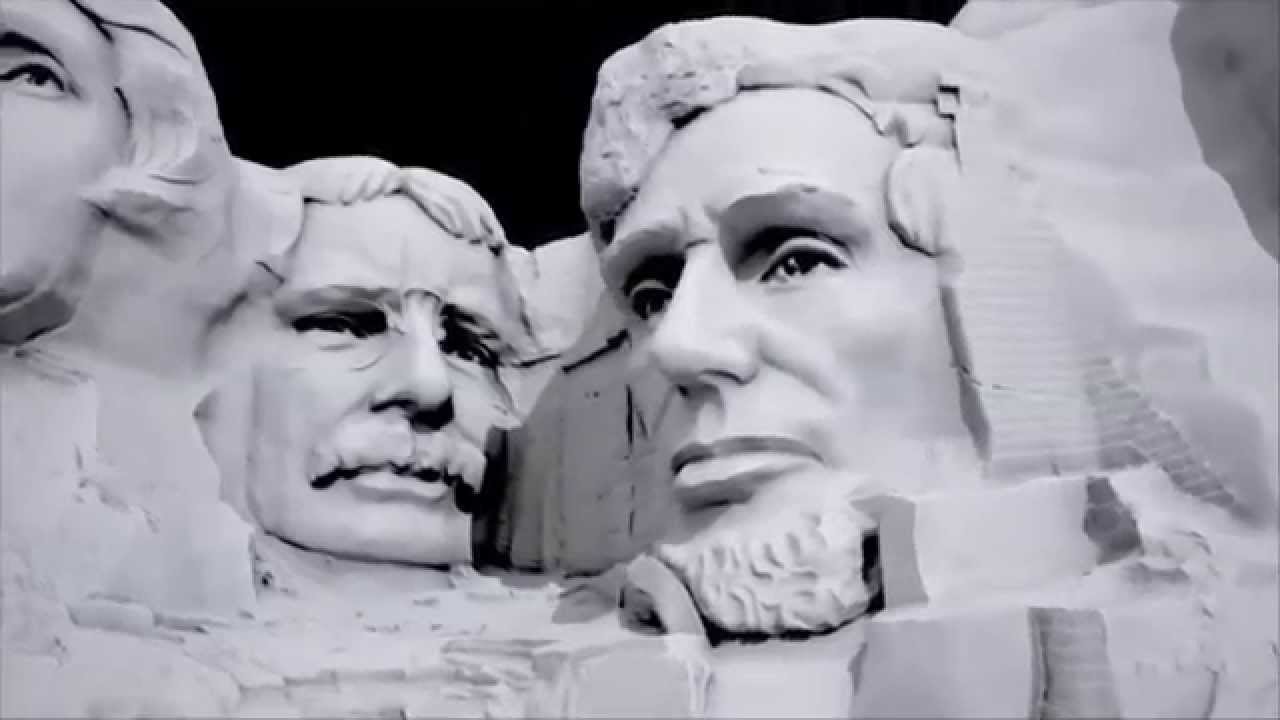
A video showing how LiDAR technology was used to create a hi-res virtual model of Mount Rushmore, and how it's used in historic preservation and public education efforts.
What is this?
A video showing how LiDAR technology was used to create a hi-res virtual model of Mount Rushmore, and how it's used in historic preservation and public education efforts.
We know 2 items that are featured in this video.

- 3D Laser Scanner, ScanStation C10
- compact, pulsed, dual-axis-compensated, very high-speed laser scanner, with....
- Courtesy of Leica Geosystems.
- 16.2014.1
- This object was made by Leica Geosystems Inc..
- There are 6 images and 3 videos of this object.
")
- Diagnostic Health-care Device, Kernel of Life (Prototype)
- computer-machined abs plastic, leather, aluminum, paint.
- Courtesy of Gates Foundation and WIRED magazine.
- 12.2014.1
- This object was made by fuseproject.
- There are 2 images and 1 video of this object.